
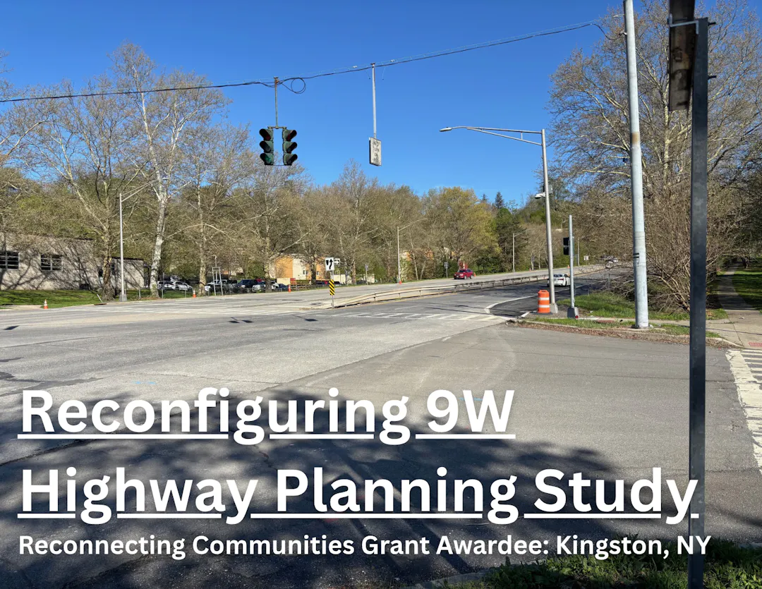
Reconnecting Communities: 9W Reconfiguration Study
In late 2024, the City of Kingston applied for a $240,000 Reconnecting Communities planning grant from the US Department of Transportation, and was awarded in Jan. 2025.
Through a comprehensive design and community engagement process, the City will explore ways to reconnect neighborhoods separated by Route 9W while ensuring the highway maintains its overall level of service for current and projected traffic counts.
Community Engagement
The project and its work will be guided by a strong focus on community engagement. Public engagement activities will include meetings with people who live in and near the project area, surveys, and other ways of making sure folks can learn about and contribute to project plans.
As of April 2026, community engagement for this project has not yet begun. To stay updated on opportunities to get involved, subscribe to this project.
Project Specifics
The planning efforts of this project fall into three categories: Concept Development (creating corridor scenarios that include redesigns such as reduction of lanes), Land Use & Placemaking (evaluating opportunities to use reclaimed land for housing and other uses), and Ownership (evaluating legal, operational, and financial consequences for transferring roadway jurisdiction).
Priorities of the project include safety for all users, mobility and accessibility across modes, economic development and housing potential, environmental impacts, cost and constructability.
The study area includes the 1.9 miles of Route 9W traversing the City of Kingston along with a 0.4-mile segment in the Town of Esopus and a 0.1-mile segment in the adjacent Town of Ulster. At times, the right of way for Route 9W is over 200 feet.

History
During the 1950s and 1960s, interstate highways were being built across the United States, demolishing and separating neighborhoods in the process. Kingston was no exception. 9W was built through the city after hundreds of buildings were demolished and thousands of people were forced to relocate during urban renewal efforts in the 1960s. For more information on the history of urban renewal in Kingston, see here.
Thank you to the researchers David Hochfelder (University of Albany) and Ann Pfau (independent scholar) for their insights on the history of 9W.
Do you have a question about this Reconnecting Communities planning grant? Ask it here.
Who's Listening
-
Phone 845-334-3928 Email bstarodaj@kingston-ny.gov

Thank you for your contribution!
Help us reach out to more people in the community
Share this with family and friends